Summer-like warmth arrives midweek in the Hudson Valley ahead of pleasant end to the week
Summer-like warmth peaks on Wednesday before cooler air, breezy conditions and a comfortable weekend settle into the Lower Hudson Valley.
More Stories
WHAT TO KNOW
Warmer air has returned to the Lower Hudson Valley with a mainly pleasant forecast expected through the rest of the week. While there are a few bumps in the road at times, much of the upcoming stretch remains quiet.
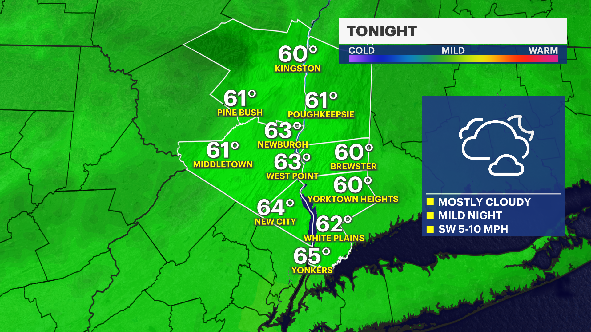
Skies will stay mostly cloudy on Tuesday night, with mild temperatures settling into the 60s overnight.
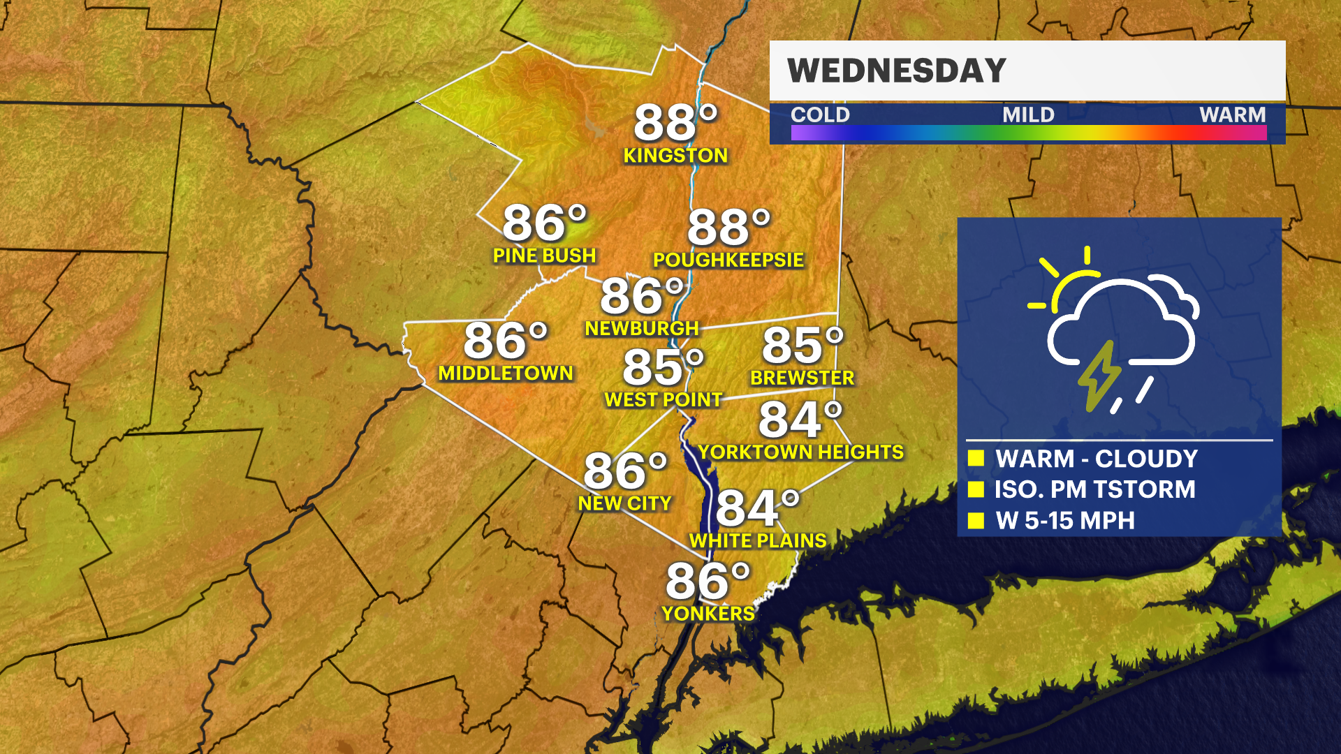
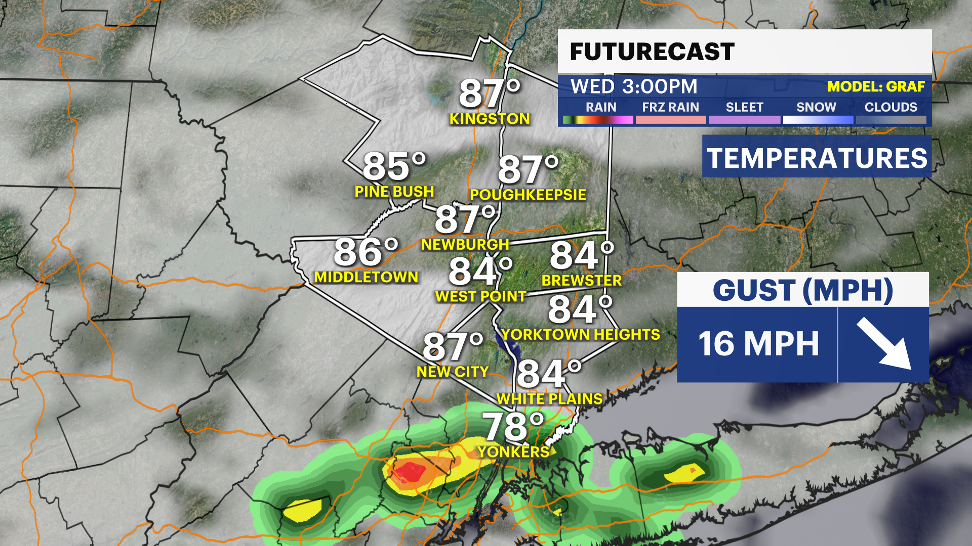
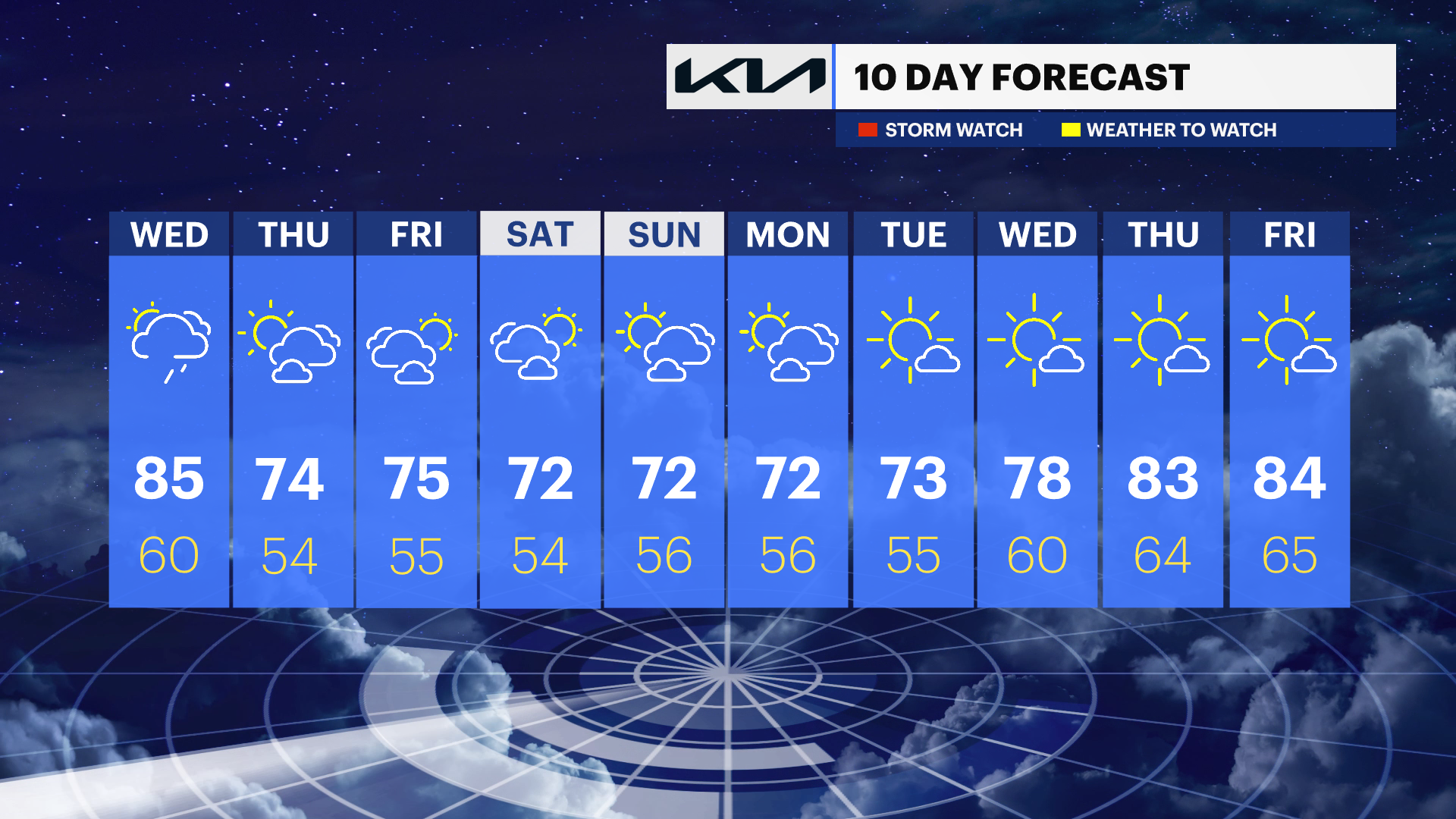
Wednesday will feel much more like summer, with afternoon temperatures climbing into the mid-80s across much of the region. Humidity levels will also increase slightly, adding to the warm feel. While most communities will stay dry, there is a slight chance for a brief isolated thunderstorm in southern Westchester County during the afternoon, mainly around 3 p.m.
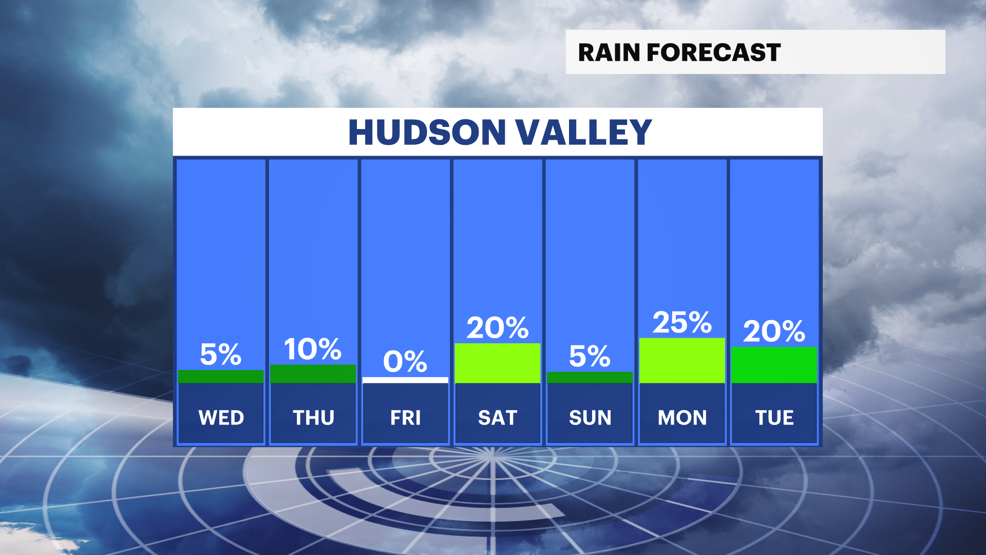
Clouds will partially break on Wednesday night before increasing again on Thursday morning. A few scattered sprinkles will be possible at times on Thursday, but widespread rain is not expected. Temperatures will also turn noticeably cooler, with highs returning closer to seasonable levels under mostly cloudy skies.
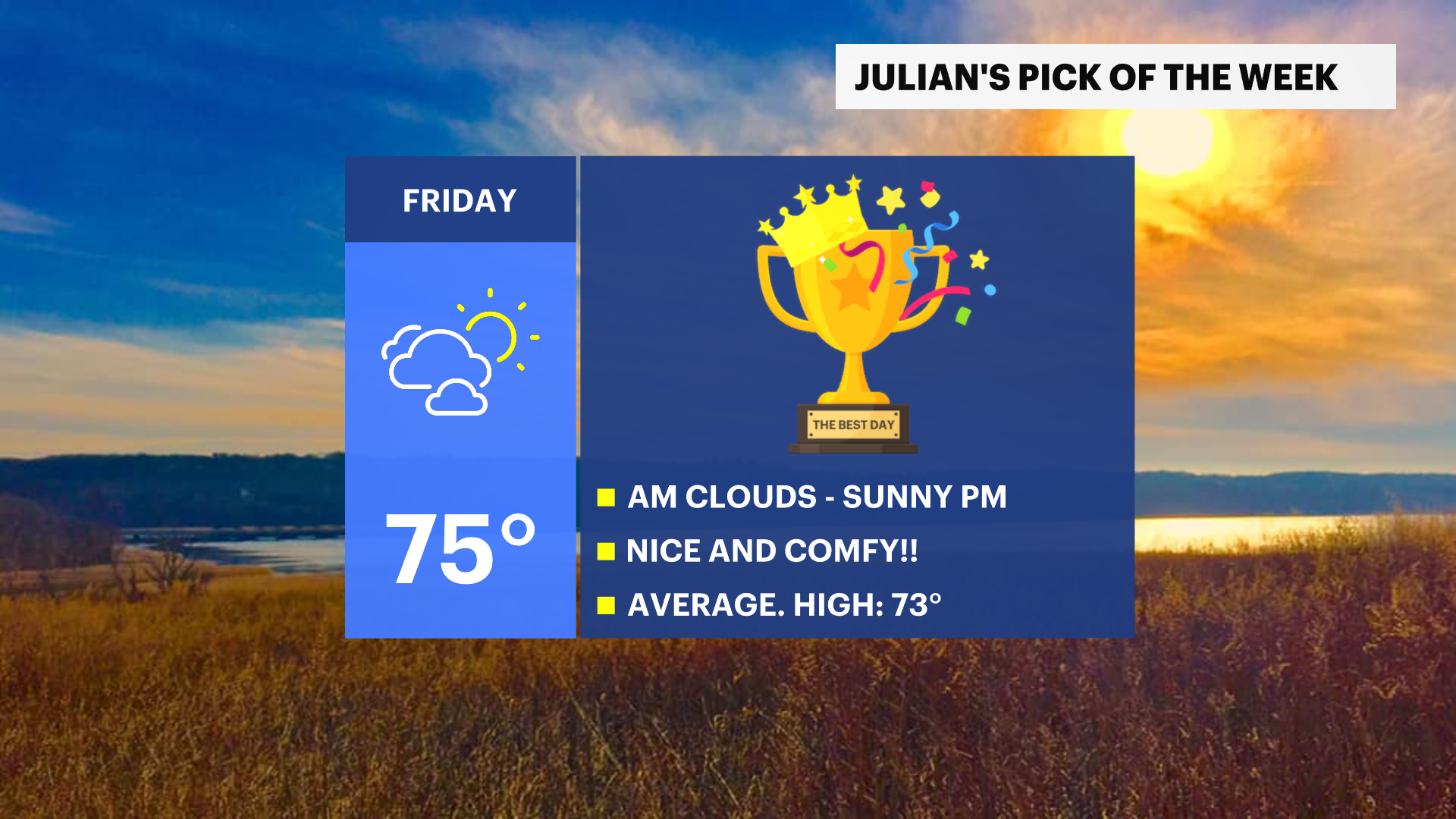
Friday is the "Pick of the Week." Morning cloud cover will gradually give way to increasing sunshine during the afternoon. Temperatures will reach the mid-70s, with lower humidity and comfortable conditions throughout the day, making for a near-perfect finish to the short workweek.
The weekend looks seasonable overall, with temperatures mainly in the low 70s as clouds mix with sunshine both Saturday and Sunday. Breezy conditions are expected to develop, especially on Sunday, when wind gusts could approach 30 mph at times.