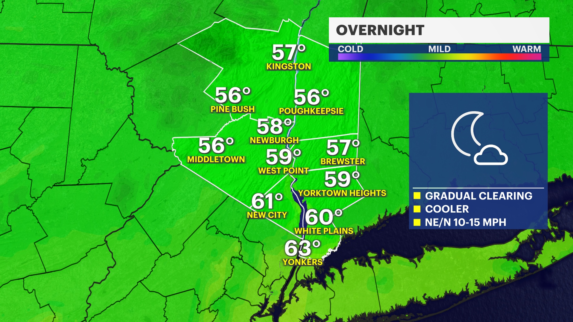
Skies gradually clear overnight across the Hudson Valley with warmer weather and sunshine returning
Temperatures steadily warm through Friday, with afternoon thunderstorms returning late Thursday into Friday. The weekend forecast is looking good with more sunshine and warm temperatures
More Stories




What to expect
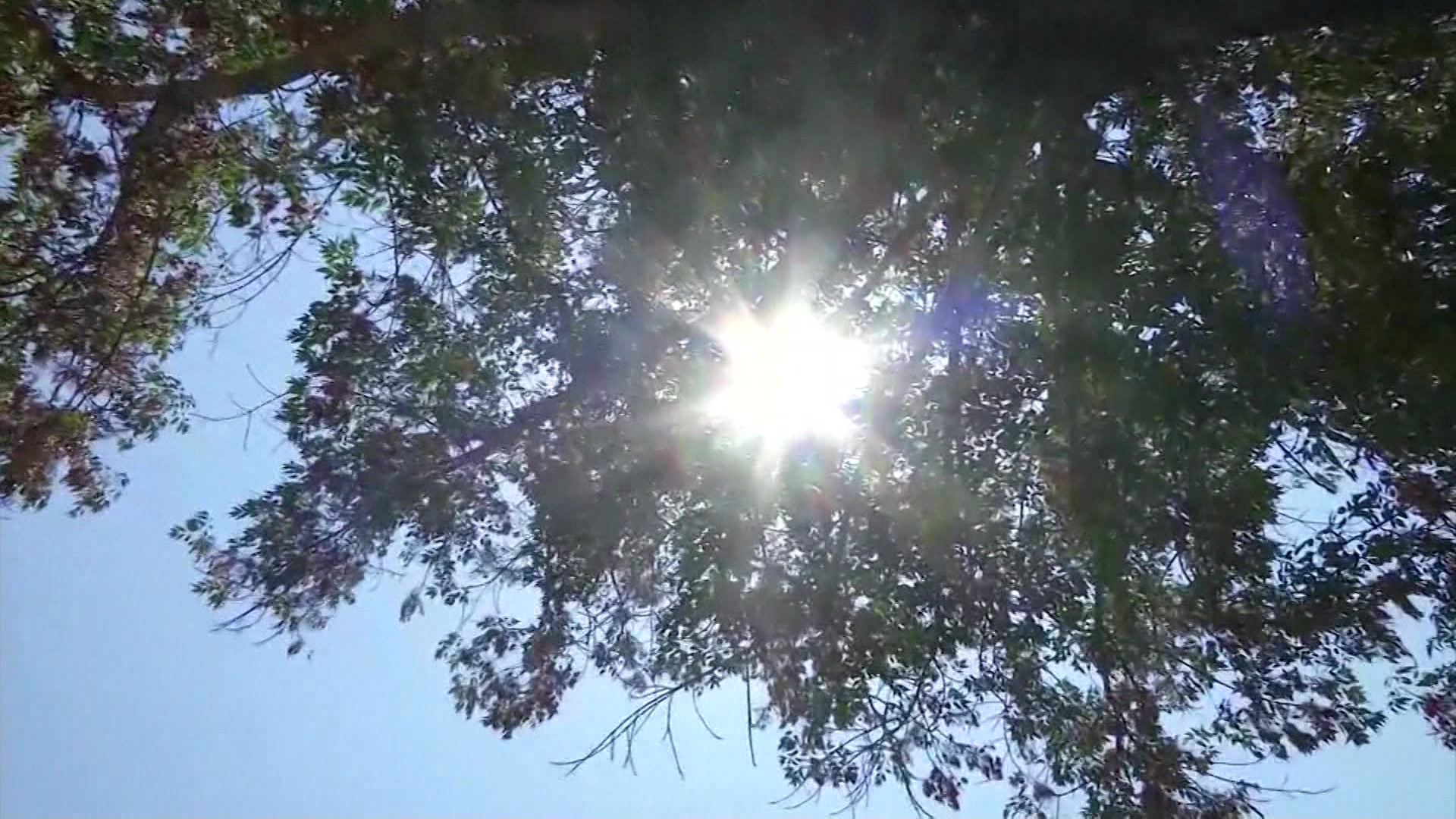
Dry weather returns overnight and early Wednesday with clearing skies.
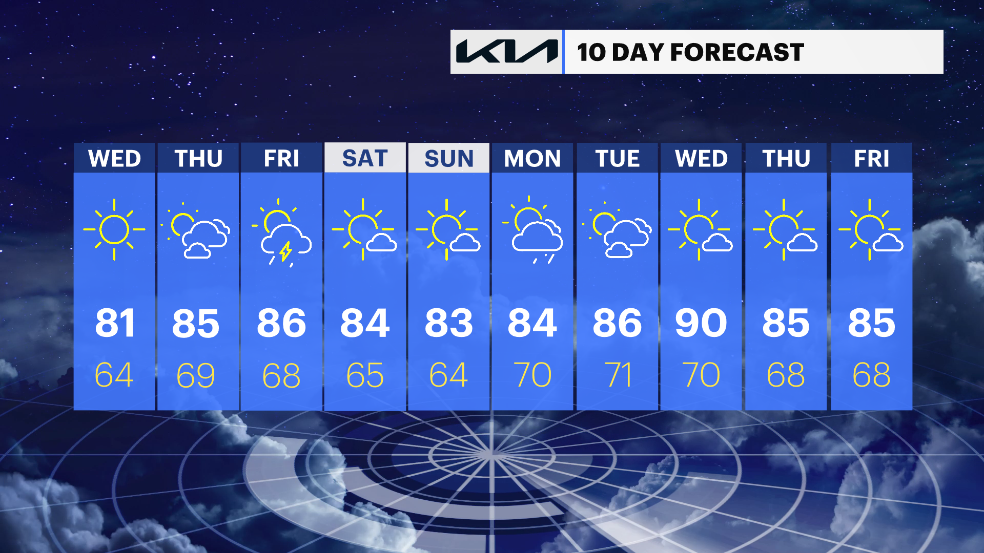
A gradual warming trend brings summer heat back by the end of the week.
Scattered showers and thunderstorms are possible Thursday afternoon through Friday as a cold front approaches.
As of right now, the weekend looks generally warm and sunny.
Weather alerts
No watches, warnings, or advisories are currently in effect for the Hudson Valley.
Forecast
Overnight: Clouds will move away from north to south. Skies should be nearly clear by morning. Lows around 60 degrees, with many locations to the north dropping into the 50s.
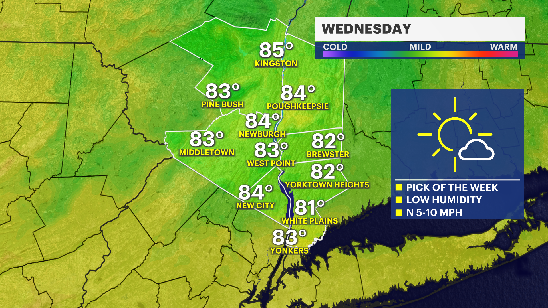
Wednesday: Mostly sunny and comfortable with lower humidity. Highs will be around 80 degrees.
Wednesday night: Partly cloudy and mild. Lows will be in the lower to mid-60s.
Thursday: Partly sunny, warmer and more humid with a slight chance of an afternoon shower or thunderstorm. Highs will be in the mid- to upper 80s.
Thursday night: Scattered showers and thunderstorms remain possible during the evening before tapering overnight. Lows will be in the upper 60s.
Friday: Warm and humid with scattered afternoon and evening showers and thunderstorms as a cold front approaches. Highs will be in the upper 80s.
Saturday: Mostly sunny and pleasantly warm. Highs will be in the lower to mid-80s.
Sunday: Mostly sunny with seasonable temperatures. A slight chance of a shower returns Sunday night into Monday. Highs will be in the lower to mid-80s.