Warmer temps with storm chances to finish the week for the Hudson Valley
Keep the umbrella handy for afternoon storms before high pressure clears us out for Saturday and Sunday
More Stories




Forecast:
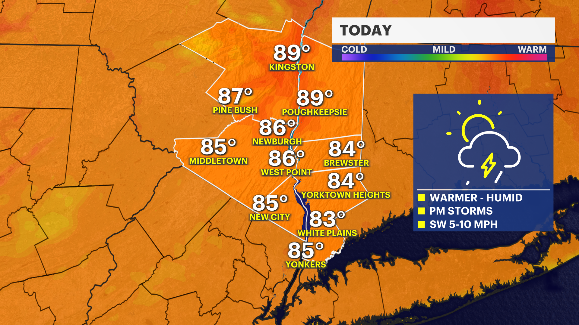
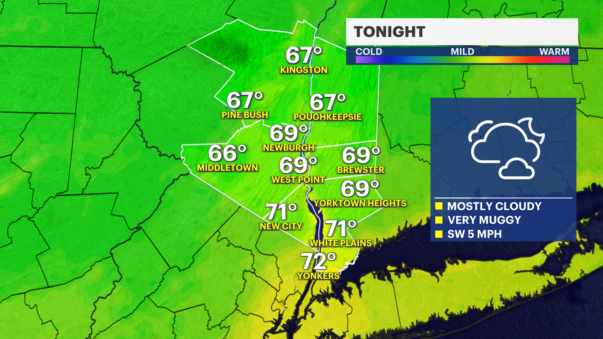
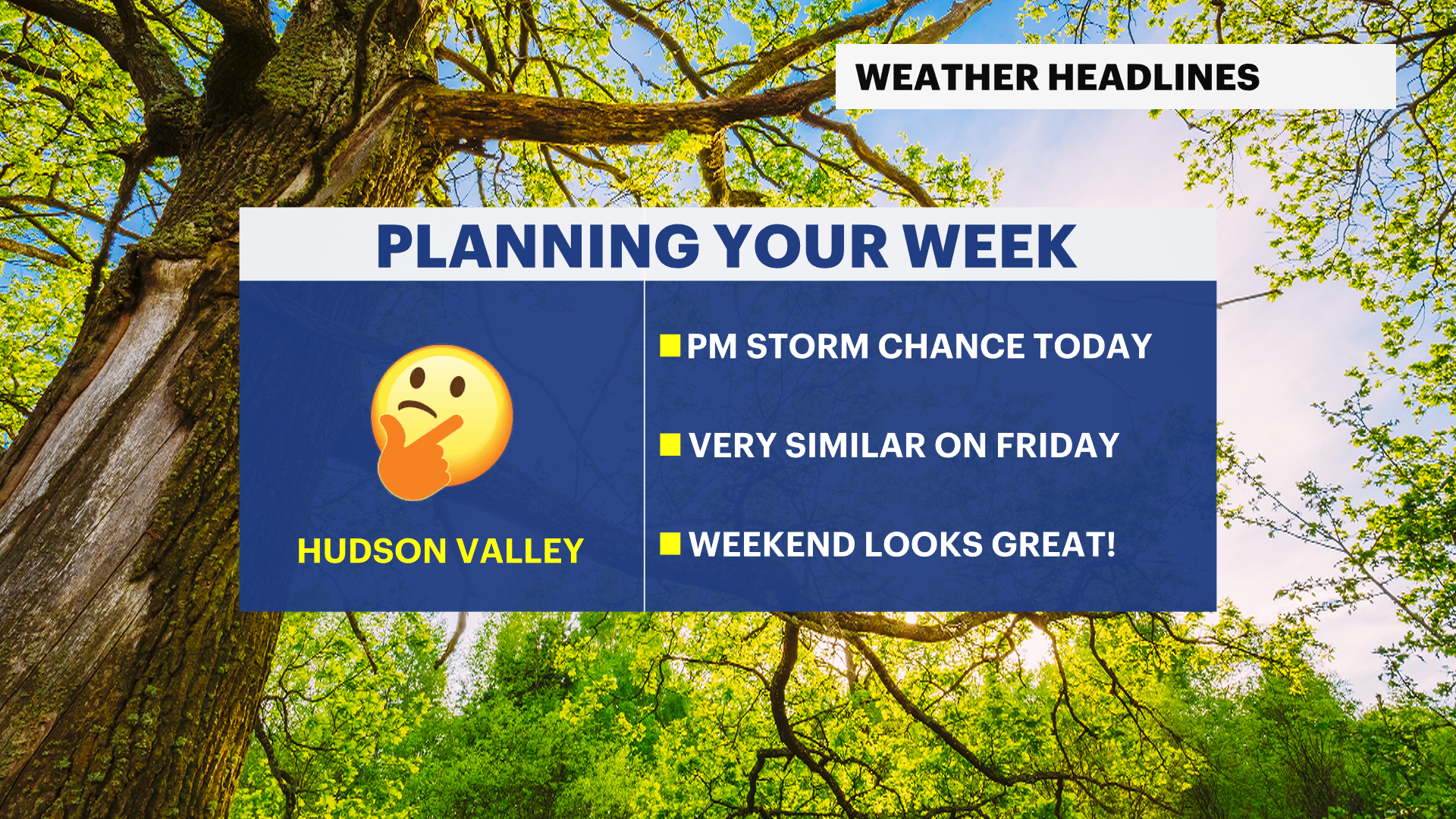
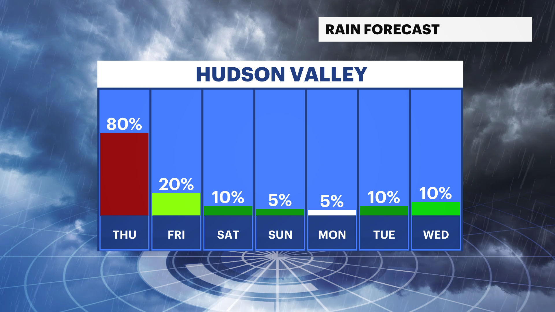
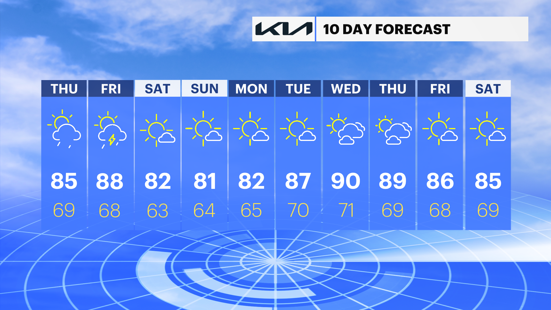
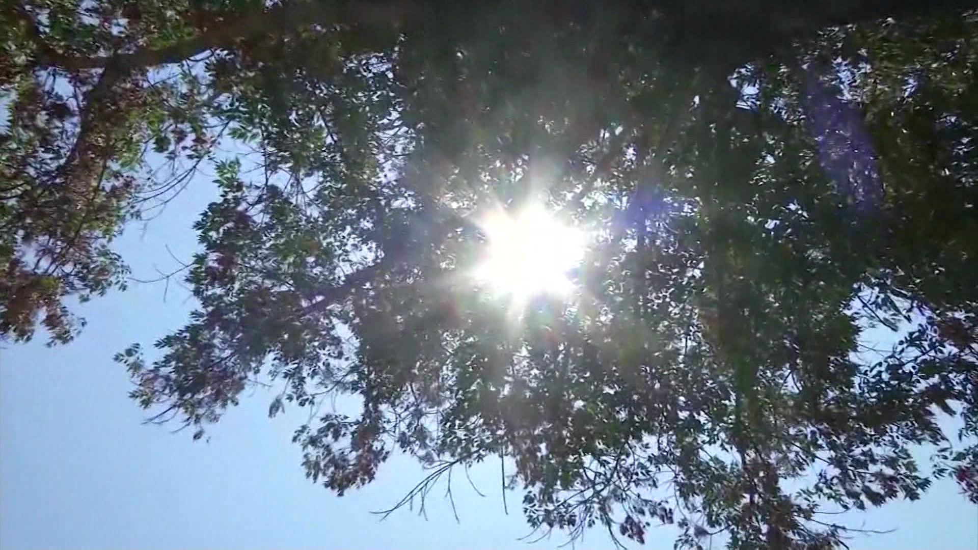
The shift in our weather pattern begins today, as a little more heat and humidity sweep the region along with a few more clouds by the afternoon. Keep the umbrella close by today; we are tracking some afternoon rain showers and thunderstorms, but the good news is many of us will remain dry, or at least dry out early this evening.
Friday will be very similar to Thursday. Temperatures will be a little closer to the 90-degree mark, but humidity will linger with scattered cloud cover as well. With the heat and humidity working in tandem, a pop-up thunderstorm is possible once more in the afternoon and early in the evening.
The weekend still looks phenomenal. On Saturday, clouds will linger early in the day before becoming mostly sunny, a little humid to start but pleasant throughout the day and cooler than Friday. Sunday is expected to be the best day of the weekend with low humidity, sunshine, and near-seasonable temperatures.