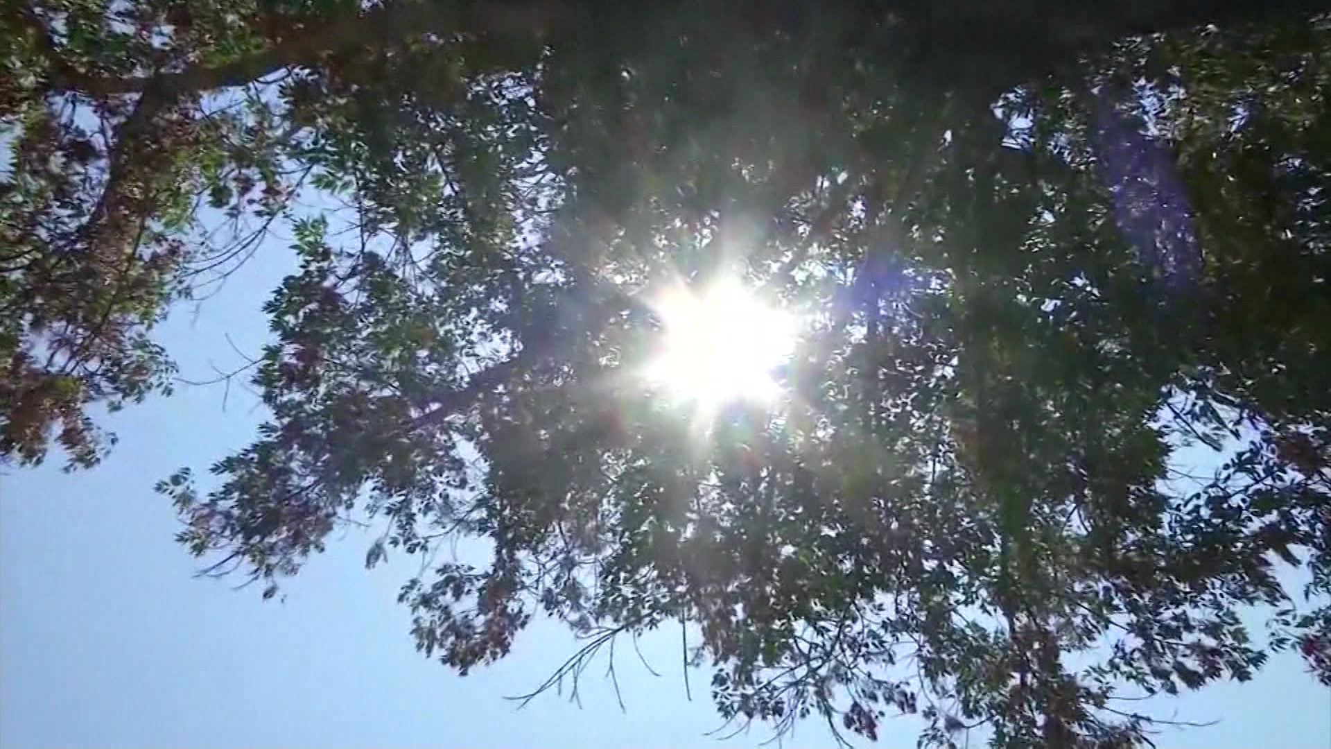
HEAT ALERT: Another hot and humid day with Canadian wildfire smoke expected in our skies today
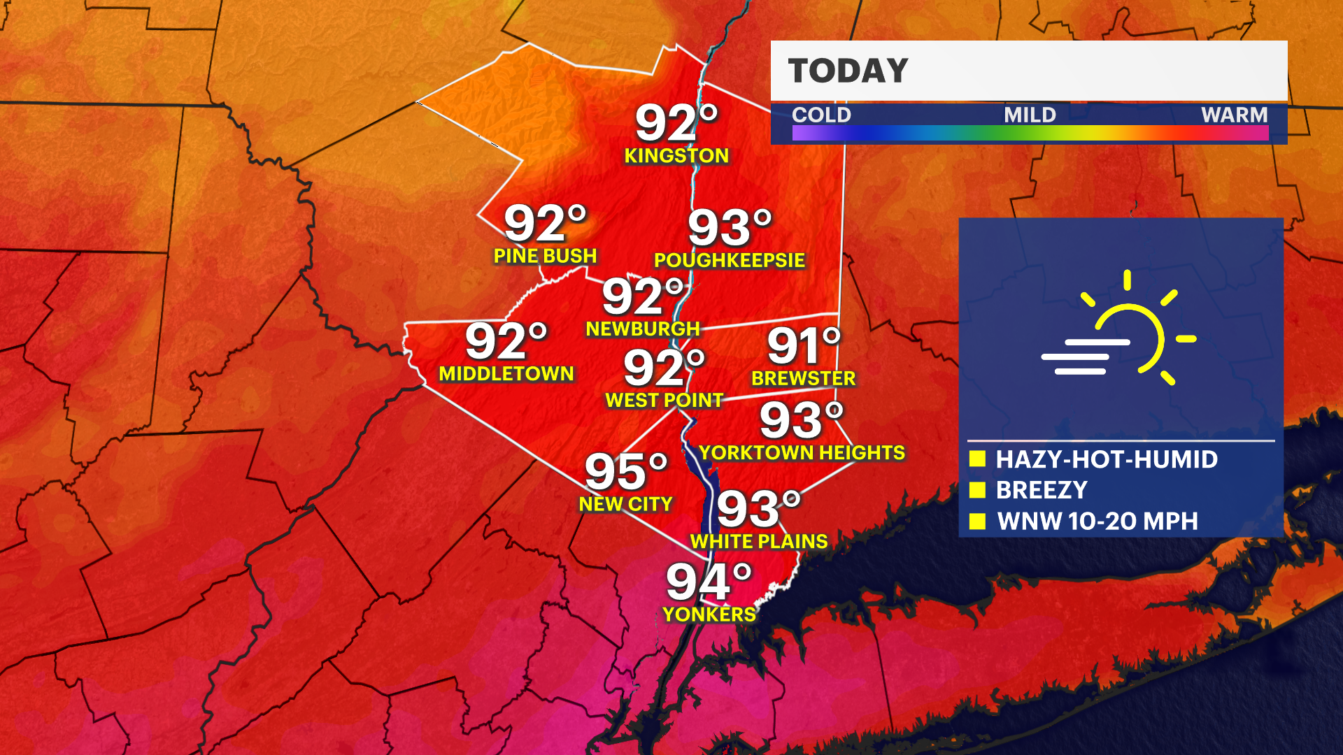
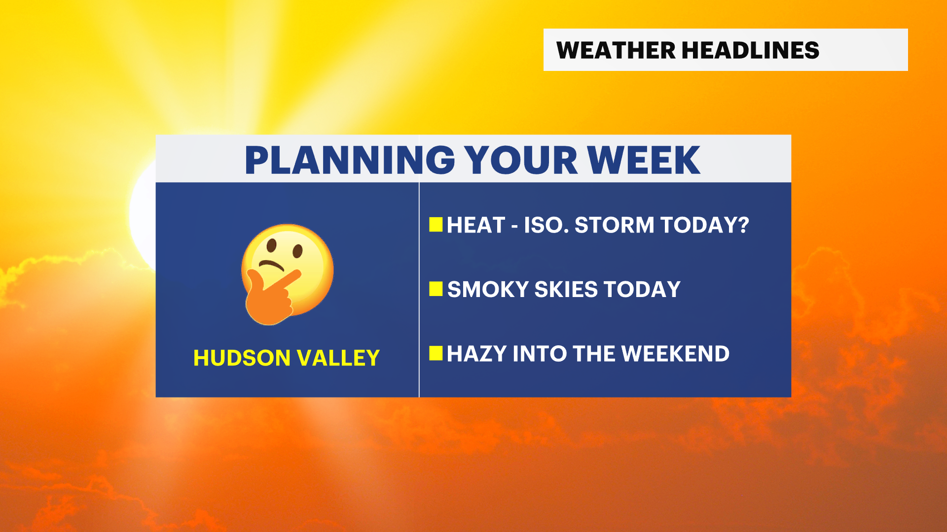
Temperatures will heat up near dangerous levels by this afternoon, feeling near 100 degrees. Hazy and smoky skies are expected as well as Canadian wildfire smoke invading the region.
More Stories

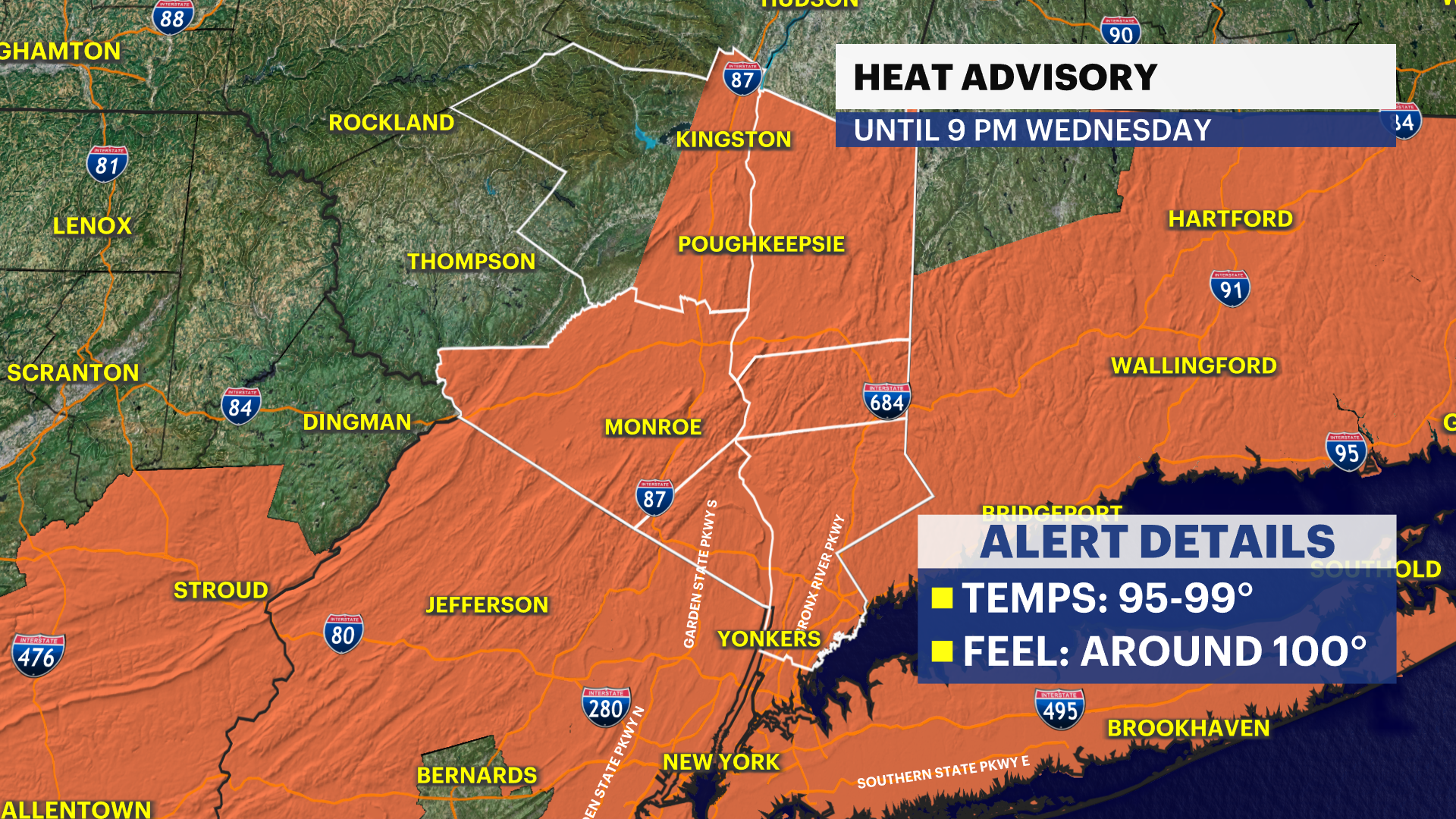
Alerts: Heat Advisory for the region until 9 p.m. tonight.
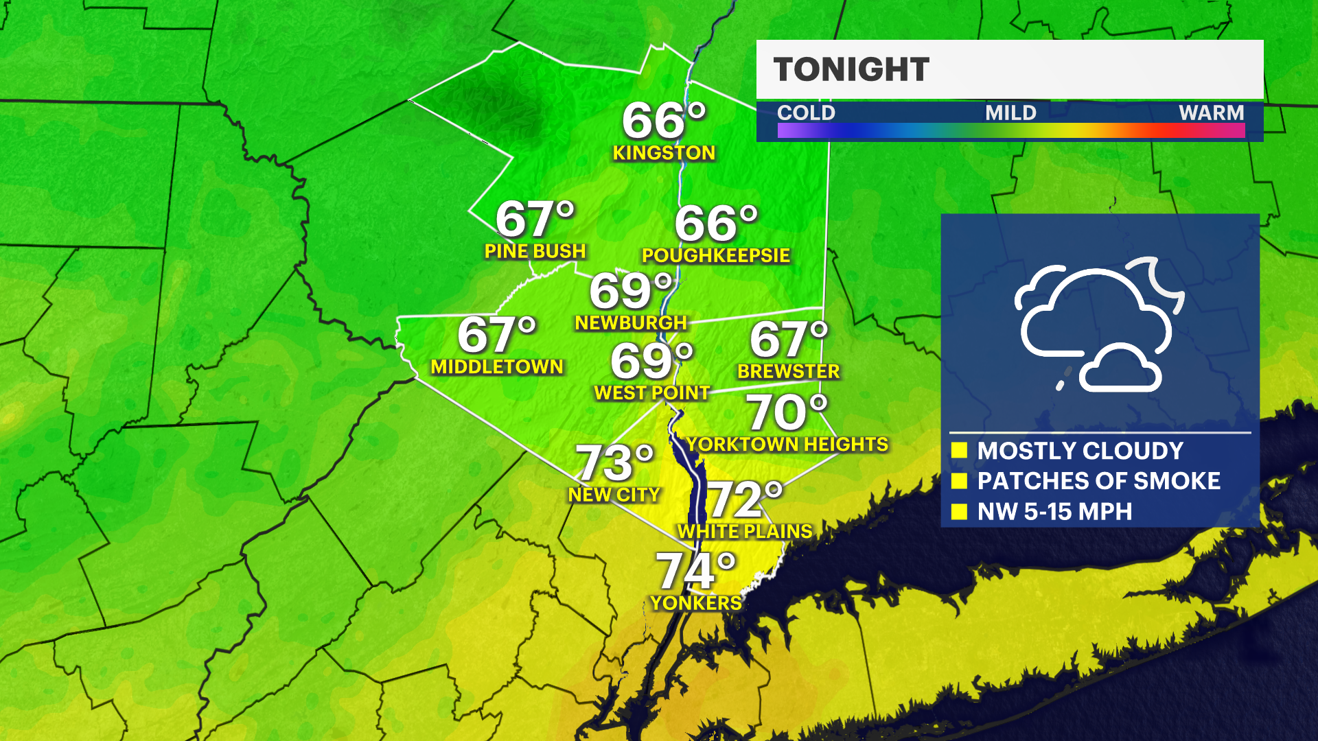
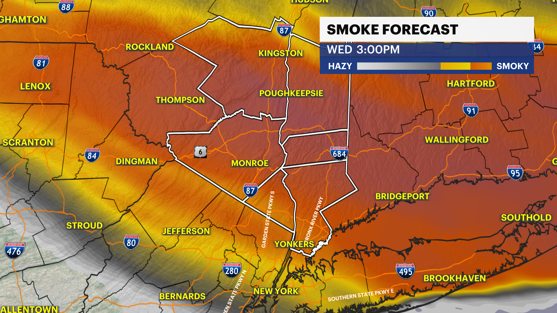
Canadian wildfire smoke will impact the region by midday that may negatively impact our air quality today into the night. Check back for any changes to the air quality or alerts that may be issued.
Forecast:
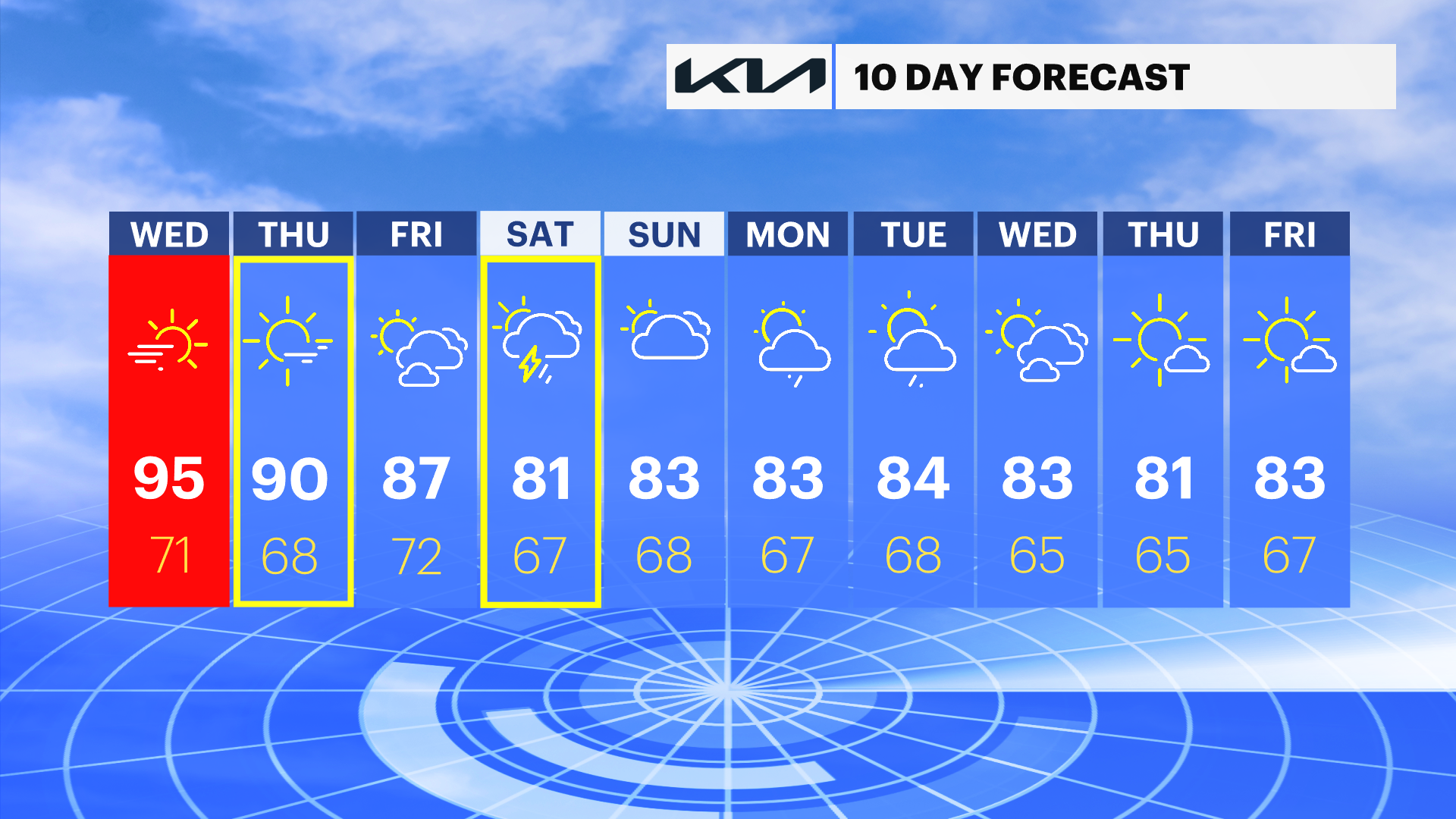
A very warm start to the morning, humid, and a little hazy in the skies from the Canadian wildfire smoke. Today, our Heat Alert continues as temperatures are expected to feel near 100 degrees. Air temperatures are expected to be around 95 to 99 degrees by this afternoon, meeting the criteria for the heat advisories across the region.
The day will remain dry, smoky, hot and humid. However, by the evening and tonight, there is a chance that we could see an isolated storm that could be strong or severe, especially in Westchester and Rockland Counties, which are in a Marginal Risk (Level 1 out of 5) from the Storm Prediction Center, with damaging wind gusts and hail being the biggest concern from any of these storms.
Thursday will see some minor improvements. It will not be nearly as hot or humid, but air temperatures are still expected to be around 90 degrees, marking an official heat wave in the Hudson Valley once again this summer. Clouds will be back and forth throughout the day, but it will remain dry and less breezy than Wednesday.
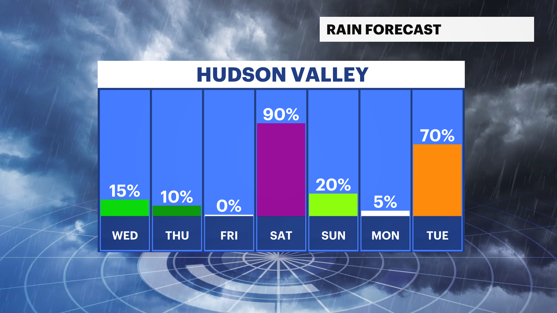
Into the weekend, temperatures will slowly cool to near-normal temperatures with thunderstorm chances returning by Saturday afternoon and into Saturday night. Outdoor plans are likely to be impacted by this storm system on Saturday, as rain will likely linger into Sunday morning. By Sunday midday, the rain is expected to clear; partly sunny skies are expected, dry in the afternoon and evening.