STORM WATCH: Flood concerns continue across the Hudson Valley
Showers and storms will continue into the overnight and parts of Wednesday.
More Stories


WHAT YOU NEED TO KNOW:
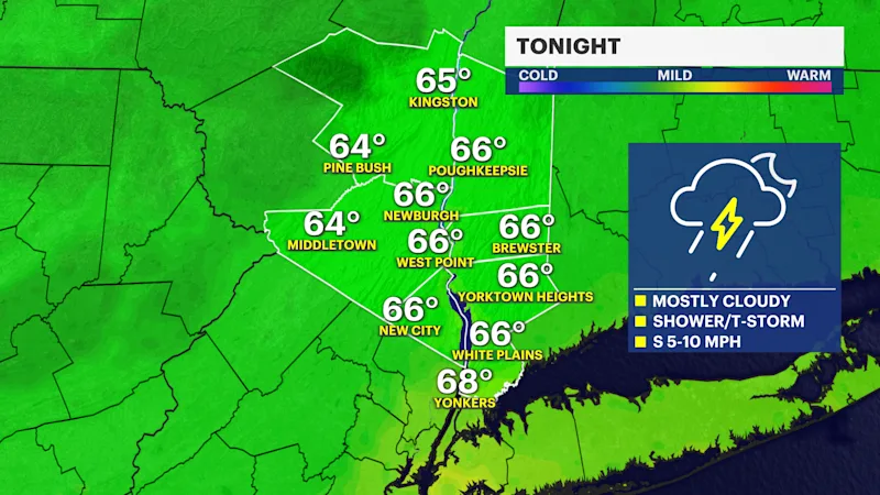
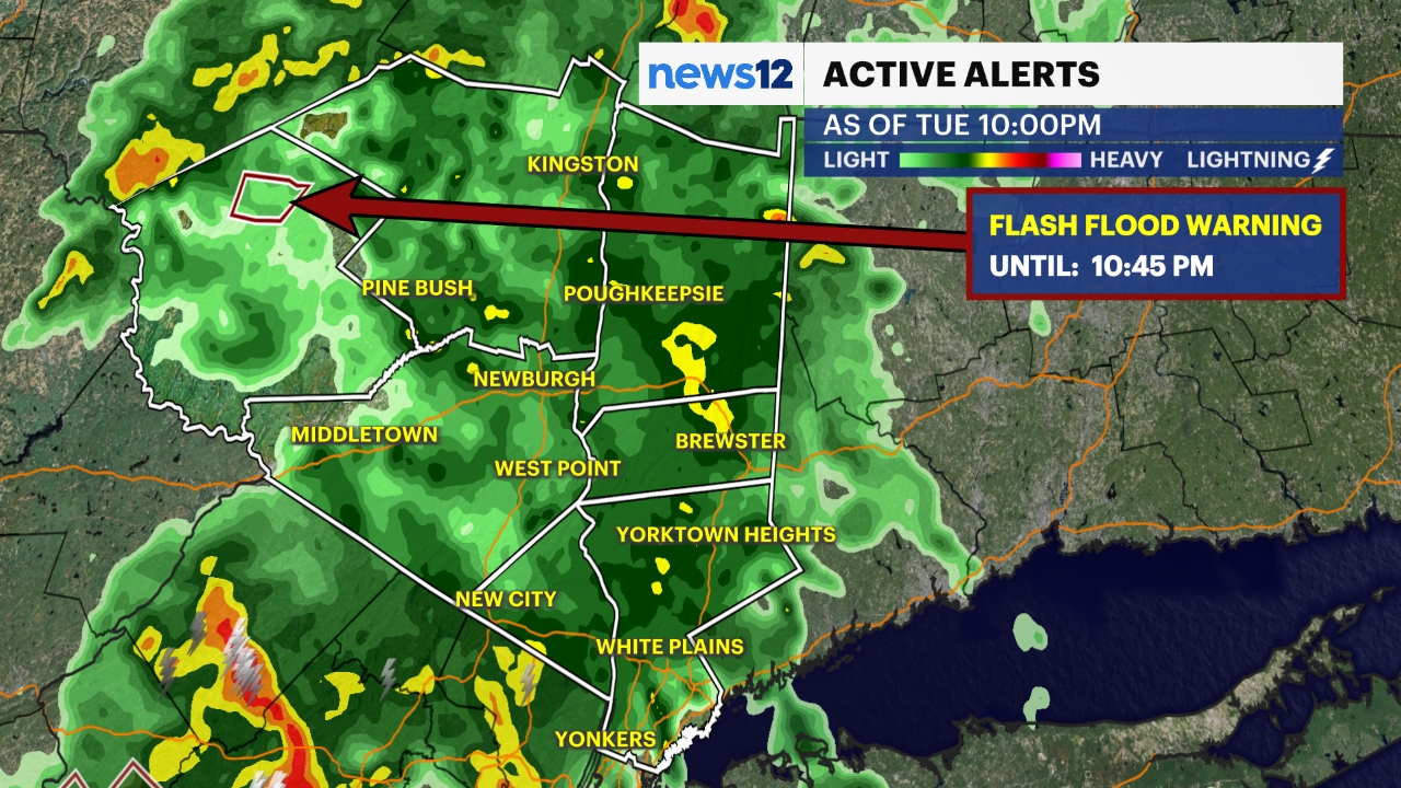
Tonight: The threat for flooding will continue through the evening and overnight hours as additional rounds of showers and thunderstorms move through the Hudson Valley. While the most widespread and intense rain should wind down after sunset, pockets of heavy downpours remain possible overnight. Any storm could produce rainfall rates of 1 to 2 inches per hour, with isolated higher amounts, leading to additional flash flooding concerns in vulnerable locations.
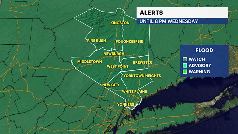
The Lower Hudson Valley remains under a flood watch through Wednesday evening, with a high risk for numerous flash flooding issues. Areas that were hit hard by Monday's rainfall, especially parts of Rockland County, will be particularly susceptible to additional flooding. Poor-drainage areas, small streams, and roadways could see rapid water buildup if heavier bands set up overhead.
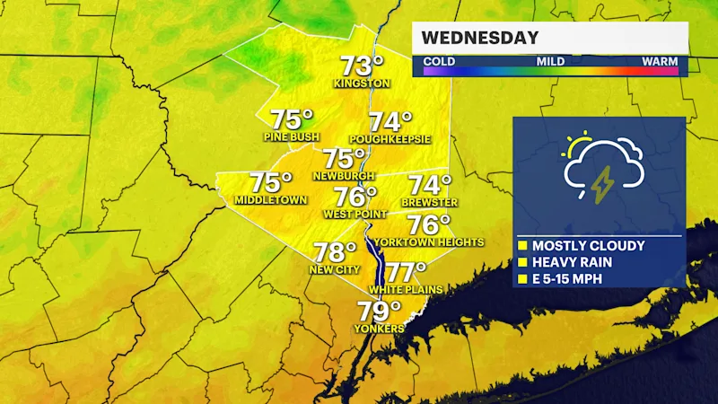
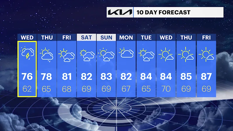
Wednesday: A mainly quiet start is expected for the morning commute, but the atmosphere remains unsettled. Scattered showers and thunderstorms will redevelop during the afternoon and evening, bringing another round of heavy rain. While the flooding threat becomes more localized compared to today, any repeated downpours could still cause isolated flash flooding concerns.
Thursday: The pattern begins to improve, although a few showers and storms remain possible. Coverage will be much more scattered, and the overall flooding threat will be lower.
Looking Ahead: A welcome stretch of better weather arrives Friday as high pressure builds into the region. That sets the stage for a pleasant summer weekend across the Hudson Valley, featuring a mix of sunshine and clouds, seasonable temperatures, and mainly dry conditions.