Today’s Tides
Loading date...| Time | Tide | Height |
|---|---|---|
| Loading tides... | ||
Tomorrow’s Tides
Loading date...| Time | Tide | Height |
|---|---|---|
| Loading tides... | ||
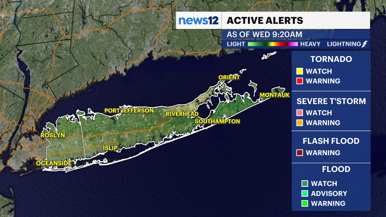
Cleanup continues from Thursday's tornado in Atlantic Beach in Nassau County as well as flooding across Long Island, but thankfully the weather overnight is decent overall.
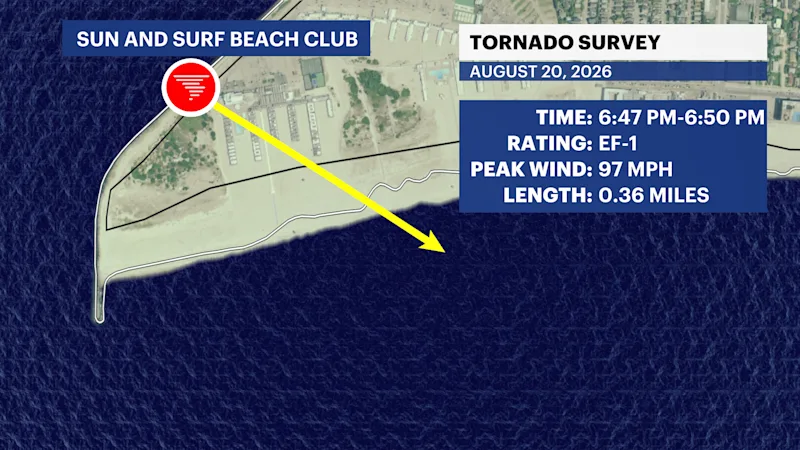
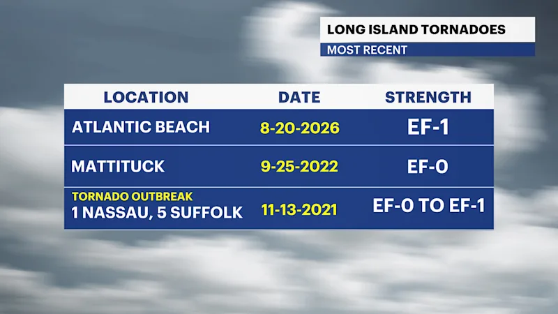
UPDATE: The National Weather Service confirmed Friday evening that an EF-1 tornado was the cause of damage in Atlantic Beach, from 6:47 p.m. to 6:50 p.m. Thursday. It had an estimated peak wind of 97 mph. The tornado was on the ground for 0.36 miles, with a path width of 100 yards.
Rainfall totals hit 3 to 5 inches across parts of Nassau and Suffolk Counties between Thursday evening and Friday morning, which led to numerous instances of flash flooding.
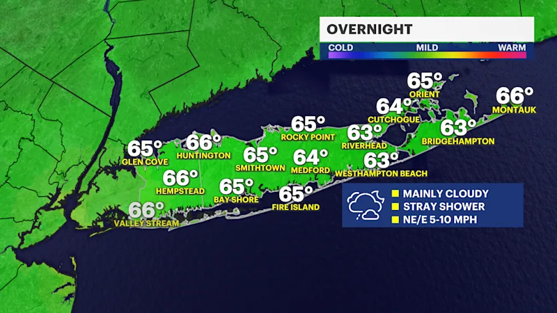
It is mainly cloudy sky a slight chance for an occasional shower. Most of the overnight into early Saturday morning will be dry. Low temperatures will start in the 60s Saturday morning.
Here is a look at the latest future radar for Long Island highlighting spotty rain chances over the weekend.
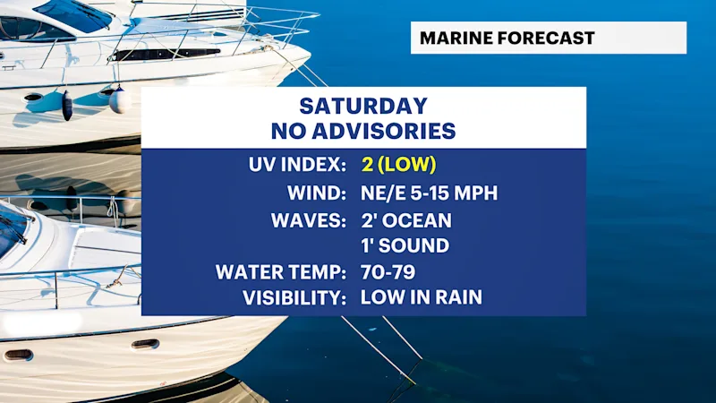
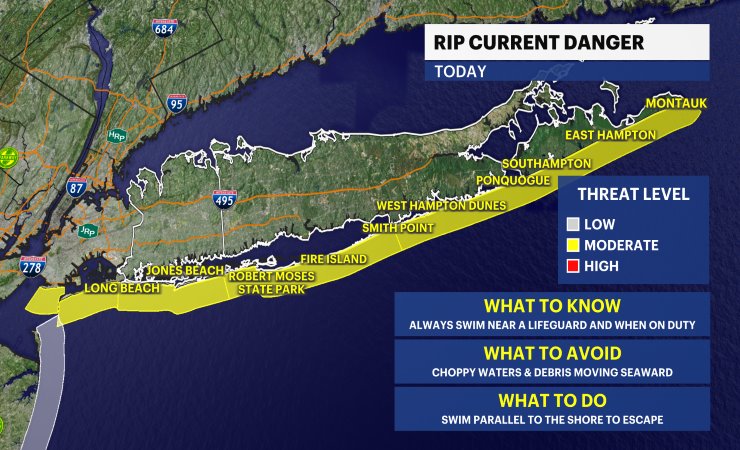
Anyone heading to the beach anytime should check the latest rip current statements before getting in the water. Check out more of the local beach weather forecast and tides here.
OVERNIGHT: Mainly cloudy with a stray shower chance. Noticeably humid. Lows in the 60s into Saturday morning. Wind: northeast-east 5 to 10 mph.
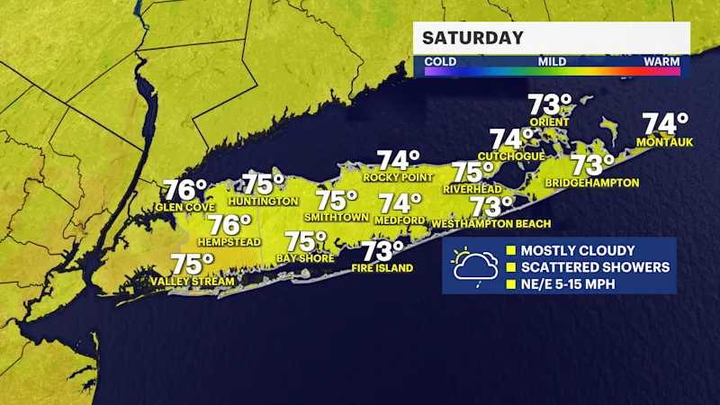
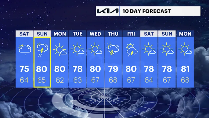
SATURDAY: Mostly cloudy with spotty light showers or drizzle at times. Wind: northeast-east 5 to 15 mph. Highs around 75. Lows near 64.
SUNDAY: WEATHER TO WATCH --Mainly cloudy with scattered showers and a passing downpour or brief thunderstorm possible. Not a washout with even a few breaks of sun throughout the day. Highs around 80. Lows near 65.
MONDAY: Mostly sunny. Highs around 80 degrees. Lows near 62 degrees.
TUESDAY: Mostly sunny. Highs around 78 degrees. Lows near 63 degrees.
WEDNESDAY: Mainly sunny. Highs around 80 degrees. Lows near 67 degrees.
THURSDAY: Partly sunny. Highs around 79 degrees. Lows near 68 degrees.
FRIDAY: Sun and clouds. Chance for a shower or thunderstorm. Highs around 80 degrees. Lows near 67.