A few showers overnight into Wednesday; downpour chances return early Thursday
Clouds and a few showers will linger overnight ahead of another downpour and storm chance early Thursday.
More Stories


Islip Information
IMPROVING WEATHER
Strong storms generally stayed west of Long Island Tuesday evening. A few spotty showers or drizzle remain possible overnight with a mostly cloudy sky. While there will be a passing shower chance on Wednesday, it will not be a washout - most of the day is expected to be dry with clouds and scattered breaks of sunshine. Thursday morning will be our next chance for any heavy rain and thunderstorms.
FUTURECAST
Here is a look at the hour-by-hour weather conditions projected for Long Island through midweek.
EXTENDED FORECAST
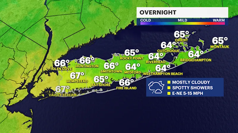
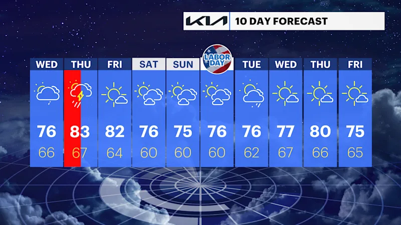
OVERNIGHT: Mainly cloudy , with some patchy fog and spotty light rain or drizzle from time to time. Lows in the 60s into Wednesday morning. Wind: east-northeast 5 to 15 mph.
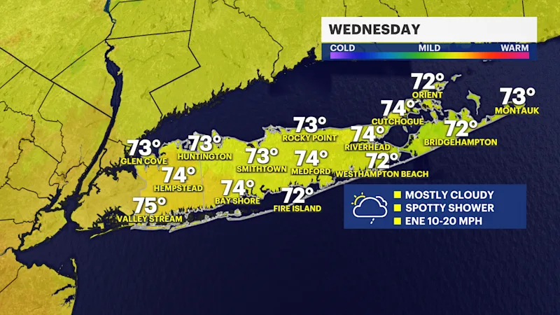
WEDNESDAY: A changeable weather day, with a mostly cloudy and the chance for a couple of passing rain showers. Breaks of sun possible. Highs around low to mid-70s. Lows near 66.
THURSDAY: STORM WATCH -- A round of showers and thunderstorms in the morning. Then, partly sunny in the afternoon, with a pop-up shower or storm chance. It will not be a washout of an afternoon, but a brief heavy drenching thunderstorm will be possible. Highs around 83. Lows near 67.
FRIDAY: Mostly sunny to partly cloudy. Highs around 82. Lows near 64.
SATURDAY: Sun and clouds. Highs around 76. Lows near 60.
SUNDAY: Sun and clouds. Highs around 75. Lows near 60.
MONDAY: LABOR DAY -- Sun and clouds. Highs around 76. Lows near 60.
TUESDAY: Sun and clouds to start. Periods of rain will be possible in the afternoon and evening. Highs around 76. Lows near 62.
BEACH AND BOATING FORECAST
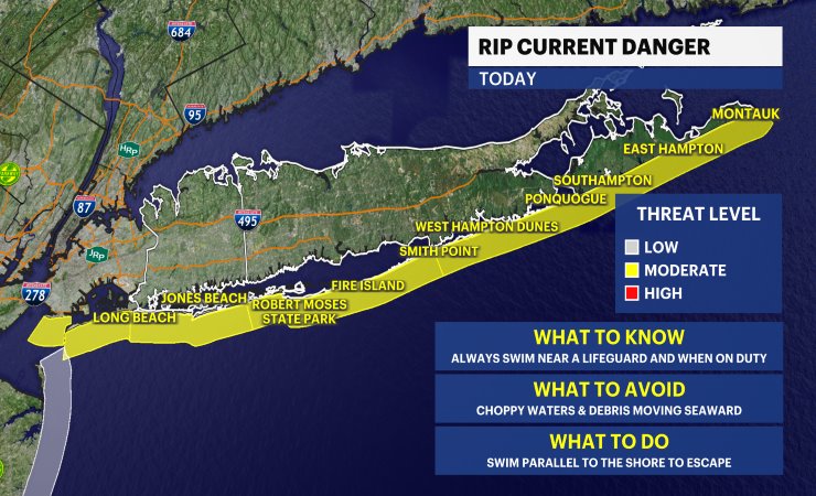
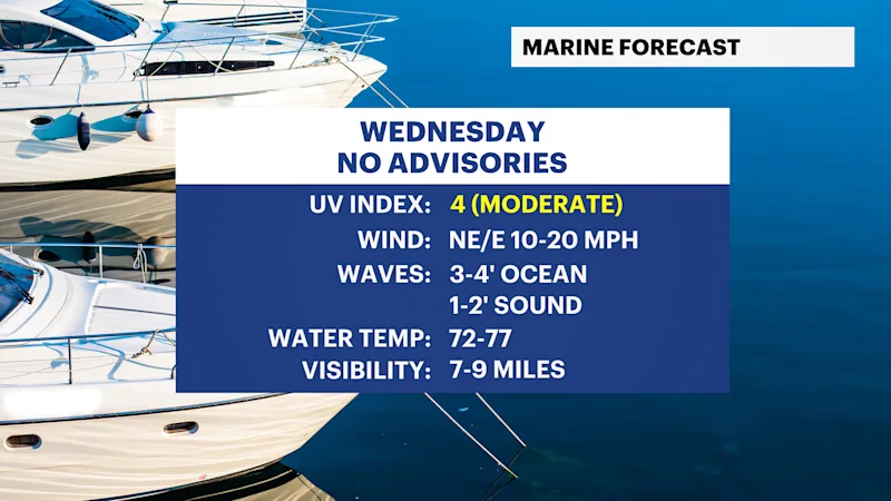
Take a look at the new beach and surf forecast - plus a look at the tides here
TROPICAL WEATHER UPDATES
Check out our new tropical weather page
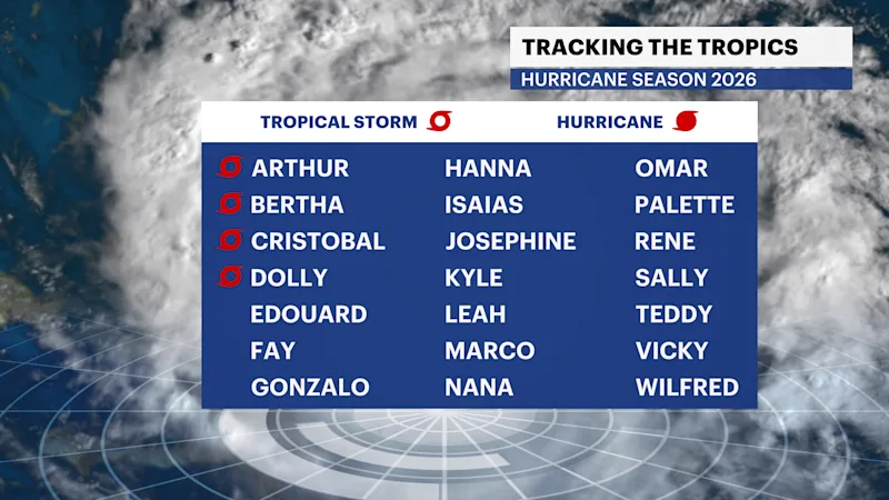
Tropical Storm Edouard makes landfall this afternoon along the Gulf Coast.