Partly sunny and breezy Monday in the Hudson Valley; chance of rain on Tuesday
A few showers linger before a brief break Monday, but rain returns Tuesday as cool, cloudy and breezy conditions settle in for much of the week.
More Stories



White Plains Information
WHAT TO KNOW:
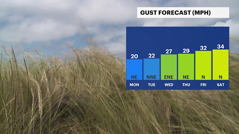
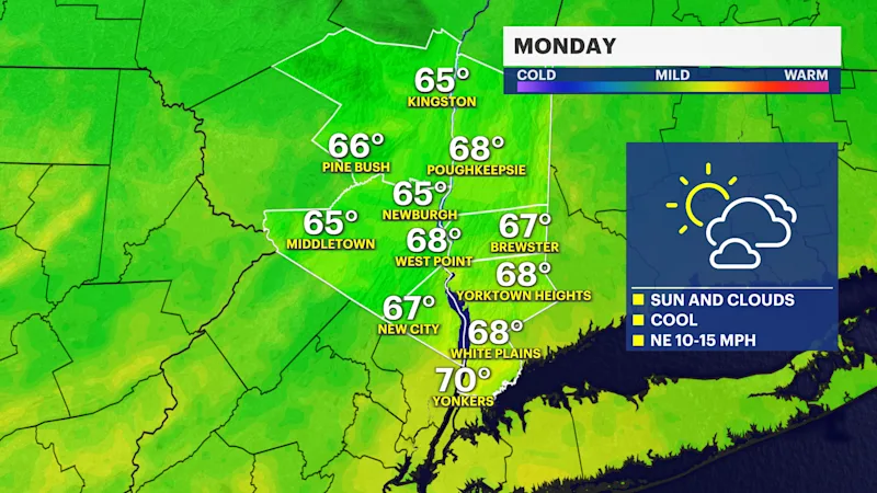
Rain tapers off, setting up a partly sunny and breezy Monday. Temperatures will stay in the upper 60s, but the northeast breeze will keep it feeling cool and crisp.
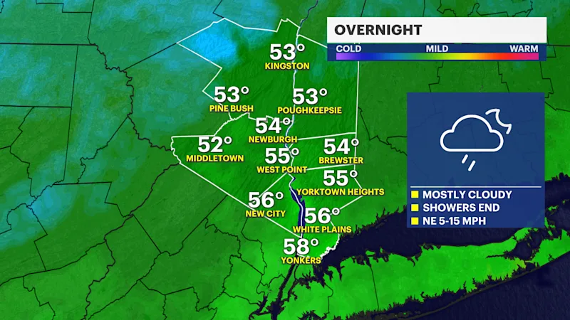
Clouds increase again Monday night ahead of another round of wet weather. Tuesday looks like the wettest day of the stretch, with a 50% chance of rain, cloudy skies and temperatures only reaching the low 60s.
Cool and mostly cloudy conditions continue through the middle of the week. Wednesday stays in the low 60s, while a few more breaks of sunshine arrive Thursday without much of a temperature change.
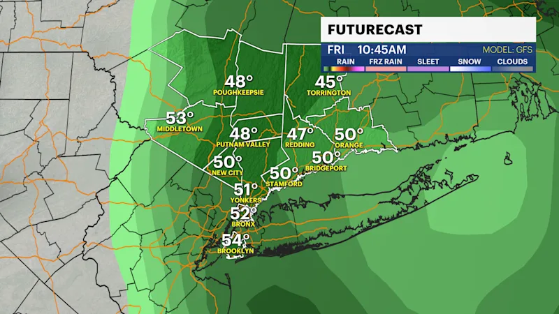
Shower chances return Friday and linger into the weekend. Temperatures gradually moderate, reaching the mid- to upper 60s Saturday and around 70 Sunday, but the pattern remains unsettled.
FORECAST
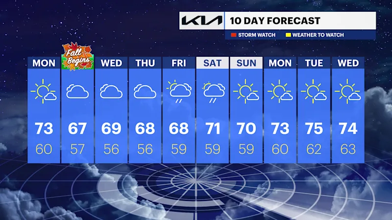
Monday: Partly sunny, breezy and cool, with highs in the upper 60s.
Tuesday: Cloudy, with a chance of rain. Highs in the low to mid-60s.
Wednesday: Mostly cloudy and cool, with highs in the low to mid-60s.
Thursday: Partly sunny, with highs in the low to mid-60s.
Friday: Partly sunny, with a chance of showers. Highs in the low to mid-60s.
Saturday: Partly sunny, with a slight chance of showers. Highs in the mid-60s.
Sunday: Partly sunny, with a chance of showers. Highs in the upper 60s to around 70.