STORM WATCH: Hudson Valley faces more wet, and possibly even some white weather overnight and Friday
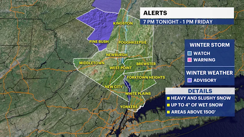
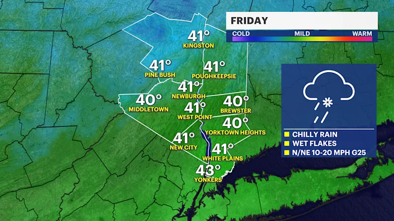
Periods of rain are likely overnight before transitioning to a chillier day on Friday with more rain and even some wet snow, especially across Western Ulster county where a few inches may accumulate above 1,500 feet.
More Stories




White Plains Information
FORECAST
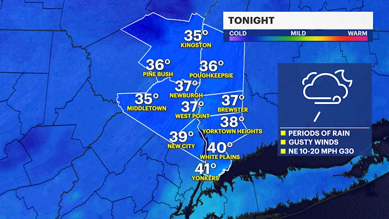
Periods of rain are likely overnight before transitioning to a chillier day on Friday with more wet weather.
Rainfall totals between 1 and 2 inches are expected, with localized higher amounts possible, especially in portions of Westchester County where heavier rain bands persist. Despite periods of heavier rainfall, widespread flooding concerns remain low.
As colder air arrives overnight and early Friday, the greatest chance for wintry weather will be across the higher elevations of the Hudson Valley. A Winter Weather Advisory has been issued for western Ulster County now through 1 p.m. on Friday. Within the advisory area, snowfall accumulations of up to 4 inches are possible, especially in the highest elevations. Motorists traveling through the area should prepare for slick and snow-covered roads, particularly late tonight and Friday morning.
Outside of western Ulster County, snow accumulation is expected to be limited. A mix of rain, wet snow and sleet may occur across portions of Ulster, Dutchess and northern areas of the Hudson Valley early Friday, but any accumulation is expected to be minor and primarily confined to elevated surfaces.
Southern Westchester County is expected to remain predominantly rain throughout the event, although a few snowflakes could briefly mix in before precipitation tapers.
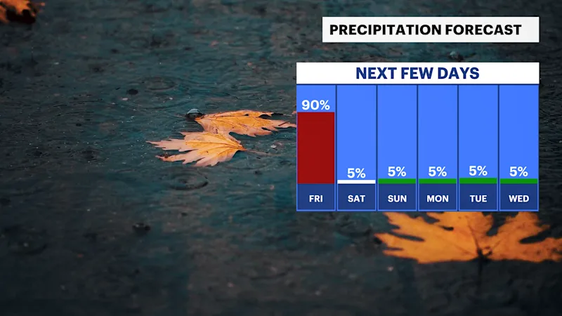
Rain will gradually diminish Friday evening as the storm moves farther offshore. Behind the departing nor’easter, northwesterly wind gusts of 25 to 30 mph are expected Friday night into Saturday.
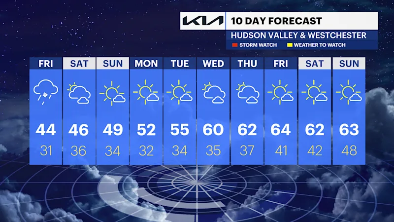
The coldest air of the season so far will settle into the region for the weekend. Daytime temperatures Saturday and Sunday will remain in the 40s, while overnight lows fall near or below freezing. Breezy conditions will make it feel even colder, with wind chills dropping below freezing during the overnight and early morning hours. Slow improvement can be expected early next week.