STORM WATCH: Hudson Valley faces threat of heavy rain, gusty winds and travel disruptions from coastal storm
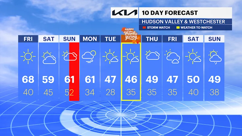
A stretch of mild weather continues through Saturday, but a developing coastal storm may bring significant rainfall and strong winds by Sunday afternoon.
More Stories




White Plains Information
FORECAST:
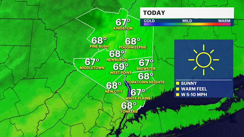
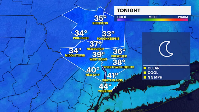
The Hudson Valley continues to enjoy unseasonably mild weather through the first half of the weekend. Overnight lows settle into the upper 30s and lower 40s tonight before temperatures surge into the mid and upper 60s Friday under abundant sunshine.
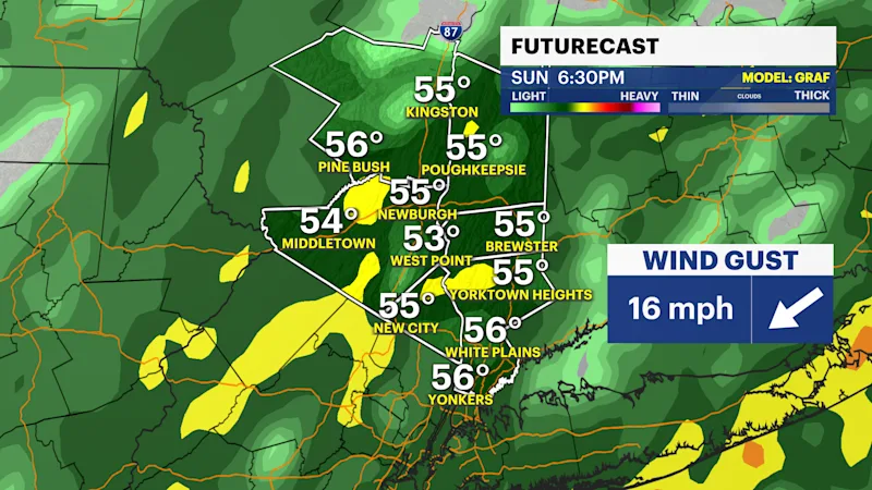
A major weather pattern shift begins late Saturday and continues Sunday as a coastal storm organizes along the East Coast. While the exact storm track remains uncertain, confidence is growing that the Hudson Valley will experience a period of rain and gusty winds beginning Sunday afternoon.
Current forecast guidance points toward widespread rainfall totals between 1 and 2.5 inches, with some isolated locations potentially receiving higher amounts if heavier rain bands develop inland. There is also a marginal risk for flash flooding across the region, particularly in urbanized locations, low-lying areas, and spots with poor drainage.
Wind gusts could reach 30 to 40 mph at times Sunday night into early Monday. These winds may produce isolated tree damage and scattered power outages, especially where soils become saturated from heavy rainfall.
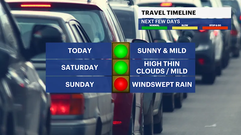
Travel conditions could deteriorate significantly Sunday afternoon and evening, with reduced visibility and standing water developing on roads.
Behind the storm, colder air and gusty winds return Monday afternoon and continue into next week.
BOTTOM LINE:
The Hudson Valley remains dry and mild through Saturday. Sunday afternoon through Monday morning brings the potential for 1 to 2 inches of rain, localized flash flooding, wind gusts of 30 to 40 mph, and travel disruptions.