More Stories
WHAT YOU NEED TO KNOW:

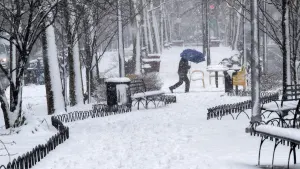
A northern storm system will pass through the region, bringing snow to the area. Snow accumulations will range from 1 to 3 inches with the higher amounts being north of Westchester County. This system is expected to be a quick mover and will end the snow around midnight. This will lead to a slippery but mainly fine Monday morning commute.

It will be cloudy and dry Monday into Tuesday as a shift in winds will bring warmer temperatures rising into the 40s for Monday and early into Tuesday. A swath of cold air returns for Wednesday but it will remain dry so temperatures will fall into the 30s. Wednesday night into Thursday, another shift will come as another storm system approaches the region, bringing a wintry mix and very mild temperatures for Thursday. Prepare for the day to be a slick and soggy one.
FORECAST
OVERNIGHT: Snow ending, slippery. Lows in the low-30s.

MONDAY: Mostly cloudy, very pleasant and dry. Highs in the low-40s. Lows in near 40 degrees.

TUESDAY: Sun and clouds, mild in the morning and becoming colder in the afternoon. Highs in the low-40s. Lows in the mid-20s.
WEDNESDAY: Cloudy and colder. Highs in the low-30s. Lows near 30 degrees.
THURSDAY: Morning wintry mix changes to snow in the late morning to early afternoon. Steady to moderate rain throughout the day and mild. Highs in the upper-40s. Lows in the mid-30s.


More from News 12
2:28

Grab the thicker jacket today, a brisk wind blows through town.
1:22

Blizzard of 2026 is now a "bomb cyclone"

25 tips to keep you safe during a winter storm
4:12

What you need to know about the snowstorm heading toward the tri-state Sunday into Monday
0:55

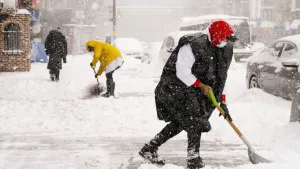
IT’S TIME TO SHOVEL! 10 tips to help you dig out safely
