More Stories
Warmer temperatures will continue to linger around New Jersey over the next few days, as forecasters track potential storms for Friday and into the weekend.
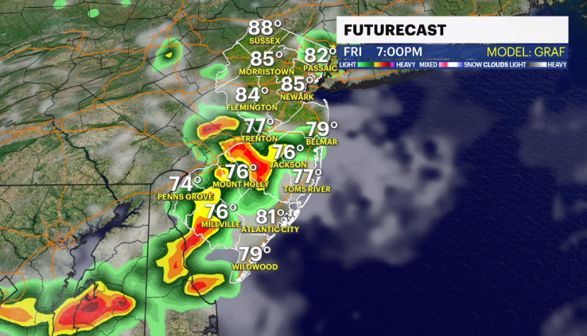
Storm Watch Team Meteorologist Dave Curren says there is the potential for isolated thunderstorms on Friday.
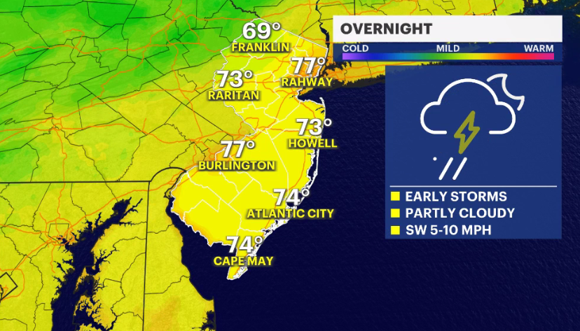
OVERNIGHT: Some clouds, temperatures cool to the mid-70s.
LIVE BLOG: News 12 weather updates
FRIDAY: Warm and humid. Daytime highs around 90. Potential for isolated thunderstorms. Overnight lows cool to around 76 degrees.
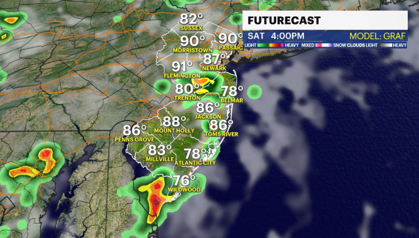
SATURDAY: Mostly cloudy skies, with the potential for rain. Daytime highs around 90 degrees. Overnight lows around 75 degrees.
SUNDAY: Mix of sun and clouds. Daytime highs around 94 degrees. Overnight lows around 76.
COMING UP: Temperatures in the 90s continue into next week. More potential for storms early next week.
More from News 12
1:45

Westchester County Airport experiencing travel disruptions due to weather
4:08

STORM WATCH: Rain, damaging wind will impact the region through the night
1:48

Jury hears Chester official’s defense for first time in DoorDash shooting trial
1:38

Deadlocked jury told to keep deliberating in second murder trial of Ed Holley
1:21

Investigation into legislation: Human trafficking bill drafted in response to Turn To Tara report advances to NY Senate
